File:Map 2.jpg
No higher resolution available.
Map_2.jpg (765 × 475 pixels, file size: 343 KB, MIME type: image/jpeg)
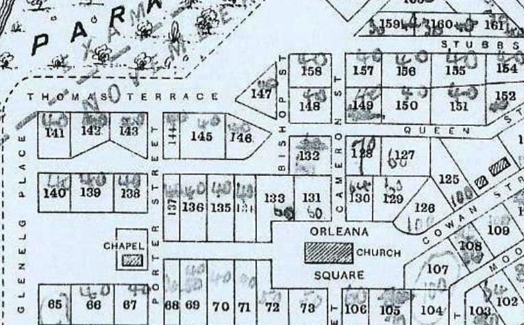
“Plan of Gawler Town and its Suburban Townships, showing routes examined for the proposed railway to Angaston; Plan Nº 2.; Taxation department”. Original located at State records, [C506] Neg GRG 21/24/32.
File history
Click on a date/time to view the file as it appeared at that time.
| Date/Time | Thumbnail | Dimensions | User | Comment | |
|---|---|---|---|---|---|
| current | 15:19, 26 June 2020 | | 765 × 475 (343 KB) | Tillera (talk | contribs) |
You cannot overwrite this file.
File usage
The following page uses this file: